
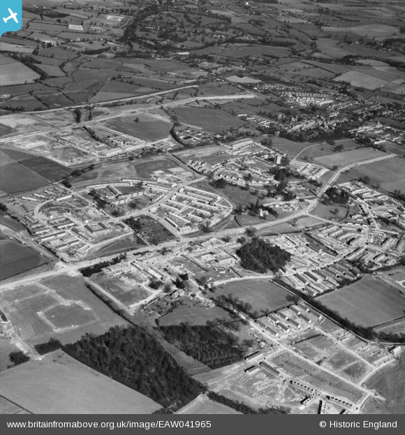
EAW041965 ENGLAND (1952). Development of the Mark Hall neighbourhood, Mark Hall North, 1952
© Copyright OpenStreetMap contributors and licensed by the OpenStreetMap Foundation. 2026. Cartography is licensed as CC BY-SA.
Nearby Images (5)
EAW041965

EAW041969

EAW041964

EAW041966

EAW041968

Details
| Title | [EAW041965] Development of the Mark Hall neighbourhood, Mark Hall North, 1952 |
| Reference | EAW041965 |
| Date | 14-March-1952 |
| Link | |
| Place name | MARK HALL NORTH |
| Parish | |
| District | |
| Country | ENGLAND |
| Easting / Northing | 546271, 210980 |
| Longitude / Latitude | 0.12050047118031, 51.777894296023 |
| National Grid Reference | TL463110 |
Pins

John W |
Tuesday 30th of August 2016 09:14:55 PM | |
|
John W |
Tuesday 30th of August 2016 09:13:46 PM | |
|
John W |
Tuesday 30th of August 2016 09:12:56 PM | |
|
clare600 |
Saturday 22nd of November 2014 10:48:09 AM | |
|
clare600 |
Saturday 22nd of November 2014 10:46:50 AM |