
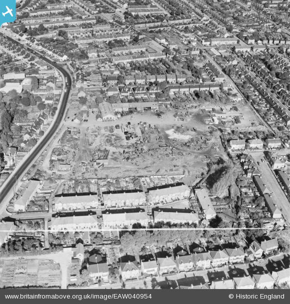
EAW040954 ENGLAND (1951). The site of the Brooke Trading Estate, Romford, 1951. This image was marked by Aerofilms Ltd for photo editing.
© Copyright OpenStreetMap contributors and licensed by the OpenStreetMap Foundation. 2026. Cartography is licensed as CC BY-SA.
Nearby Images (13)
EAW040954

EAW040958

EAW040953

EAW040956

EAW040955

EAW040957

EAW040959

EAW040960

EAW013350

EAW013348

EAW013354

EAW013351

EAW013357

Details
| Title | [EAW040954] The site of the Brooke Trading Estate, Romford, 1951. This image was marked by Aerofilms Ltd for photo editing. |
| Reference | EAW040954 |
| Date | 17-October-1951 |
| Link | |
| Place name | ROMFORD |
| Parish | |
| District | |
| Country | ENGLAND |
| Easting / Northing | 551756, 187843 |
| Longitude / Latitude | 0.18990106544082, 51.568533026991 |
| National Grid Reference | TQ518878 |
Pins
Be the first to add a comment to this image!