
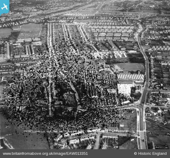
EAW013351 ENGLAND (1948). The Roneo Works, Romford, 1948. This image has been produced from a damaged negative.
© Copyright OpenStreetMap contributors and licensed by the OpenStreetMap Foundation. 2026. Cartography is licensed as CC BY-SA.
Nearby Images (19)
EAW013351

EAW013354

EAW013348

EAW013357

EAW013358

EAW013350

EAW013353

EAW013356

EAW013355

EPW001395

EAW013352

EAW040960

EAW040957

EAW040954

EAW040958

EAW040959

EAW040956

EAW040953

EAW040955

Details
| Title | [EAW013351] The Roneo Works, Romford, 1948. This image has been produced from a damaged negative. |
| Reference | EAW013351 |
| Date | 16-February-1948 |
| Link | |
| Place name | ROMFORD |
| Parish | |
| District | |
| Country | ENGLAND |
| Easting / Northing | 551900, 187641 |
| Longitude / Latitude | 0.19189008147597, 51.56667911289 |
| National Grid Reference | TQ519876 |
Pins
Be the first to add a comment to this image!