
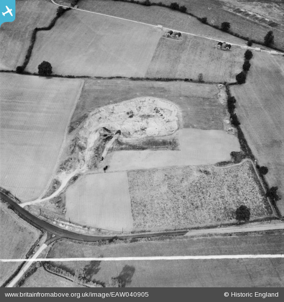
EAW040905 ENGLAND (1951). The Birch Pit (sand and gravel), Birch, 1951. This image was marked by Aerofilms Ltd for photo editing.
© Copyright OpenStreetMap contributors and licensed by the OpenStreetMap Foundation. 2026. Cartography is licensed as CC BY-SA.
Nearby Images (10)
EAW040905
, Birch, 1951. This image was marked by Aerofilms Ltd for photo editing.")
EAW040904
, Birch, 1951. This image was marked by Aerofilms Ltd for photo editing.")
EAW040903
, Birch, 1951. This image was marked by Aerofilms Ltd for photo editing.")
EAW040914
 alongside Birch Airfield, Birch, 1951. This image was marked by Aerofilms Ltd for photo editing.")
EAW040913
 alongside Birch Airfield, Birch, 1951. This image was marked by Aerofilms Ltd for photo editing.")
EAW040907
 alongside Birch Airfield, Birch, 1951. This image was marked by Aerofilms Ltd for photo editing.")
EAW040906
 alongside Birch Airfield, Birch, 1951. This image was marked by Aerofilms Ltd for photo editing.")
EAW041057

EAW041056

EAW041055

Details
| Title | [EAW040905] The Birch Pit (sand and gravel), Birch, 1951. This image was marked by Aerofilms Ltd for photo editing. |
| Reference | EAW040905 |
| Date | 18-October-1951 |
| Link | |
| Place name | BIRCH |
| Parish | BIRCH |
| District | |
| Country | ENGLAND |
| Easting / Northing | 592805, 219337 |
| Longitude / Latitude | 0.79899358296526, 51.838857338417 |
| National Grid Reference | TL928193 |
Pins

Matt Aldred edob.mattaldred.com |
Sunday 23rd of February 2025 05:15:51 PM | |

redmist |
Tuesday 11th of October 2022 09:54:23 AM | |
|
redmist |
Tuesday 11th of October 2022 09:45:27 AM |