
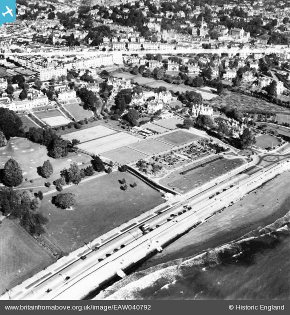
EAW040792 ENGLAND (1951). Abbey Park and the surrounding area, Torbay, 1951. This image has been produced from a print marked by Aerofilms Ltd for photo editing.
© Copyright OpenStreetMap contributors and licensed by the OpenStreetMap Foundation. 2026. Cartography is licensed as CC BY-SA.
Nearby Images (29)
EAW040792

EAW047132

EAW040793

EAW047129

EAW040799

EAW047127

EAW011694

EAW040795

EAW047131

EAW040794

EAW040797

EAW040800

EAW040796

EAW040801

EAW047130

EAW040798

EAW047128

EAW040791

EPW023723

EPW033412

EAW047126

EAW011690

EAW011695

EAW011841

EAW011691

EAW011842

EAW011843

EAW011844

EAW011692

Details
| Title | [EAW040792] Abbey Park and the surrounding area, Torbay, 1951. This image has been produced from a print marked by Aerofilms Ltd for photo editing. |
| Reference | EAW040792 |
| Date | 12-October-1951 |
| Link | |
| Place name | TORBAY |
| Parish | |
| District | |
| Country | ENGLAND |
| Easting / Northing | 290966, 63725 |
| Longitude / Latitude | -3.5363686064484, 50.462603856155 |
| National Grid Reference | SX910637 |
Pins
Be the first to add a comment to this image!