
EAW047128 ENGLAND (1952). Belgrave Road, Abbey Park and the sea front, Torquay, 1952. This image was marked by Aerofilms Ltd for photo editing.

© Copyright OpenStreetMap contributors and licensed by the OpenStreetMap Foundation. 2026. Cartography is licensed as CC BY-SA.
Nearby Images (26)
EAW047128

EPW023723

EAW011695

EAW047126

EAW040794

EAW047127

EAW040793

EAW040799

EAW047132

EAW040795

EAW047129

EAW040792

EAW011692

EAW040796

EAW047130

EAW011694

EAW040797

EAW040800

EAW011696

EAW040798

EAW011691

EAW040801

EAW040791

EAW047131

EAW011693

EAW011690

Details
| Title | [EAW047128] Belgrave Road, Abbey Park and the sea front, Torquay, 1952. This image was marked by Aerofilms Ltd for photo editing. |
| Reference | EAW047128 |
| Date | 7-October-1952 |
| Link | |
| Place name | TORQUAY |
| Parish | |
| District | |
| Country | ENGLAND |
| Easting / Northing | 291138, 63719 |
| Longitude / Latitude | -3.5339441803909, 50.462581873117 |
| National Grid Reference | SX911637 |
Pins

User Comment Contributions
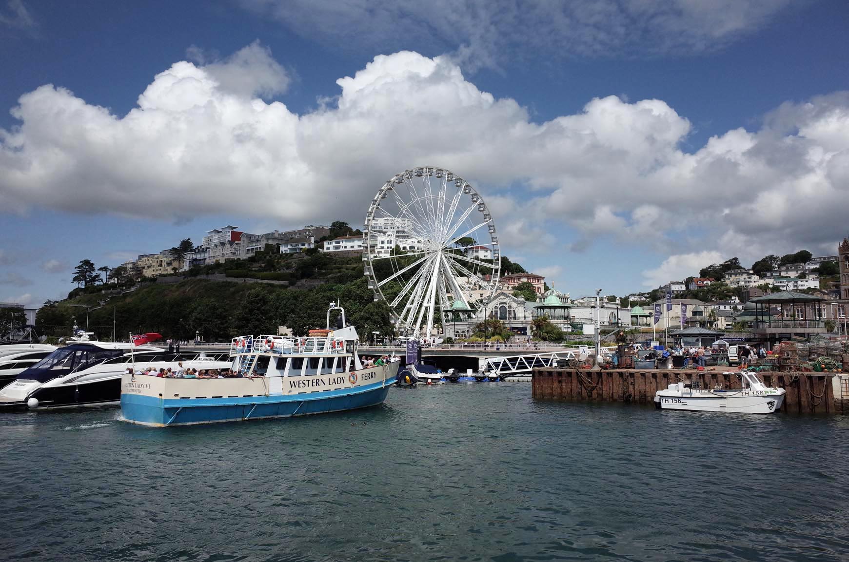
The Harbour |

Alan McFaden |
Monday 11th of August 2014 12:15:25 PM |
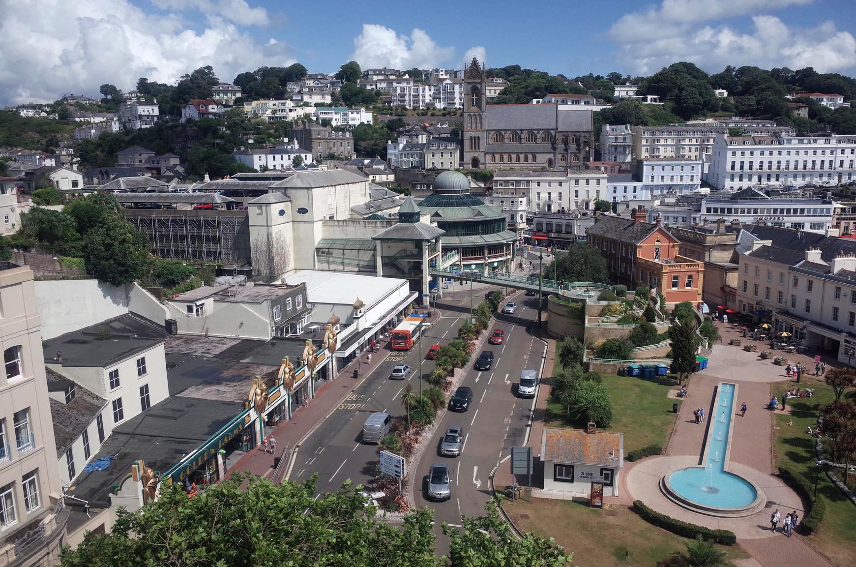
Torquay from above |
Alan McFaden |
Monday 11th of August 2014 12:15:06 PM |