
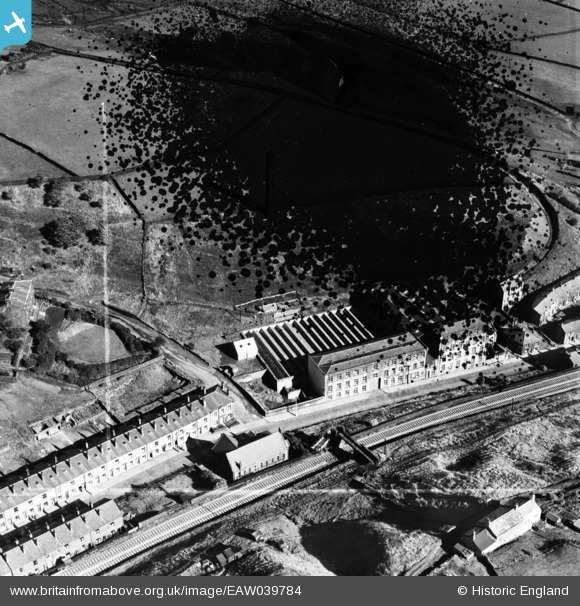
EAW039784 ENGLAND (1951). Peel Mill, Shawforth, 1951. This image has been produced from a damaged negative.
© Copyright OpenStreetMap contributors and licensed by the OpenStreetMap Foundation. 2026. Cartography is licensed as CC BY-SA.
Nearby Images (7)
EAW039784

EAW039780

EAW039782

EAW039783

EAW039786

EAW039781

EAW039785

Details
| Title | [EAW039784] Peel Mill, Shawforth, 1951. This image has been produced from a damaged negative. |
| Reference | EAW039784 |
| Date | 15-September-1951 |
| Link | |
| Place name | SHAWFORTH |
| Parish | WHITWORTH |
| District | |
| Country | ENGLAND |
| Easting / Northing | 389167, 420996 |
| Longitude / Latitude | -2.1640446867668, 53.685079507603 |
| National Grid Reference | SD892210 |
Pins
Be the first to add a comment to this image!