
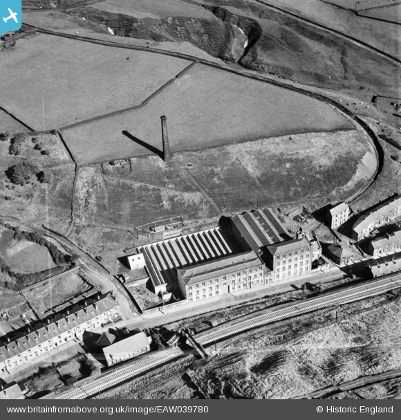
EAW039780 ENGLAND (1951). Peel Mill, Shawforth, 1951. This image was marked by Aerofilms Ltd for photo editing.
© Copyright OpenStreetMap contributors and licensed by the OpenStreetMap Foundation. 2026. Cartography is licensed as CC BY-SA.
Nearby Images (7)
EAW039780

EAW039784

EAW039783

EAW039782

EAW039786

EAW039781

EAW039785

Details
| Title | [EAW039780] Peel Mill, Shawforth, 1951. This image was marked by Aerofilms Ltd for photo editing. |
| Reference | EAW039780 |
| Date | 15-September-1951 |
| Link | |
| Place name | SHAWFORTH |
| Parish | WHITWORTH |
| District | |
| Country | ENGLAND |
| Easting / Northing | 389178, 420994 |
| Longitude / Latitude | -2.1638780441404, 53.685061757316 |
| National Grid Reference | SD892210 |
