
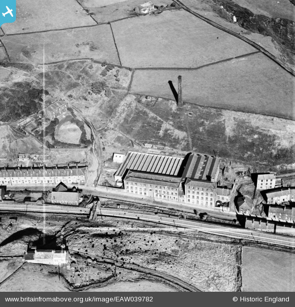
EAW039782 ENGLAND (1951). Peel Mill, Shawforth, 1951. This image was marked by Aerofilms Ltd for photo editing.
© Copyright OpenStreetMap contributors and licensed by the OpenStreetMap Foundation. 2026. Cartography is licensed as CC BY-SA.
Nearby Images (7)
EAW039782

EAW039784

EAW039783

EAW039780

EAW039786

EAW039781

EAW039785

Details
| Title | [EAW039782] Peel Mill, Shawforth, 1951. This image was marked by Aerofilms Ltd for photo editing. |
| Reference | EAW039782 |
| Date | 15-September-1951 |
| Link | |
| Place name | SHAWFORTH |
| Parish | WHITWORTH |
| District | |
| Country | ENGLAND |
| Easting / Northing | 389159, 421004 |
| Longitude / Latitude | -2.1641661103293, 53.685151254803 |
| National Grid Reference | SD892210 |
Pins
Be the first to add a comment to this image!
User Comment Contributions
My old school, Bob Days Chip Shop , Tam O Shanter, ,Working Mens Club, Peel Terrace, The Crescent, Market St etc. |

Kath |
Monday 5th of May 2014 12:53:23 AM |