
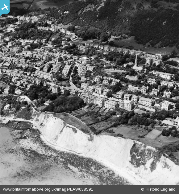
EAW038591 ENGLAND (1951). The Undercliff and the town, Ventnor, 1951. This image has been produced from a print.
© Copyright OpenStreetMap contributors and licensed by the OpenStreetMap Foundation. 2026. Cartography is licensed as CC BY-SA.
Nearby Images (5)
EAW038591

EPW000500

EAW038590

EPW039655

EPW043011

Details
| Title | [EAW038591] The Undercliff and the town, Ventnor, 1951. This image has been produced from a print. |
| Reference | EAW038591 |
| Date | 13-August-1951 |
| Link | |
| Place name | VENTNOR |
| Parish | VENTNOR |
| District | |
| Country | ENGLAND |
| Easting / Northing | 456988, 77702 |
| Longitude / Latitude | -1.1947488309492, 50.595670860989 |
| National Grid Reference | SZ570777 |
Pins
Be the first to add a comment to this image!