
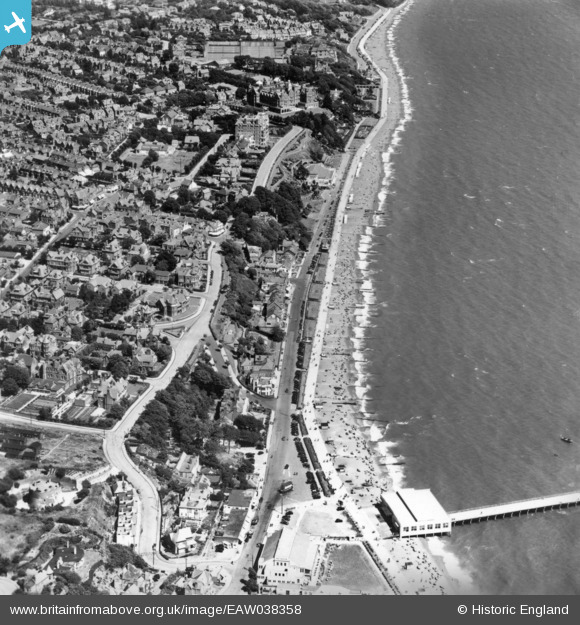
EAW038358 ENGLAND (1951). Undercliff Road West, Felixstowe, 1951. This image has been produced from a print.
© Copyright OpenStreetMap contributors and licensed by the OpenStreetMap Foundation. 2026. Cartography is licensed as CC BY-SA.
Nearby Images (7)
EAW038358

EPW016541

EAW038360

EPW001917

EPW039283

EPW039279

EAW024310

Details
| Title | [EAW038358] Undercliff Road West, Felixstowe, 1951. This image has been produced from a print. |
| Reference | EAW038358 |
| Date | 3-August-1951 |
| Link | |
| Place name | FELIXSTOWE |
| Parish | FELIXSTOWE |
| District | |
| Country | ENGLAND |
| Easting / Northing | 630278, 234333 |
| Longitude / Latitude | 1.3520919014562, 51.95927928828 |
| National Grid Reference | TM303343 |
Pins
Be the first to add a comment to this image!