
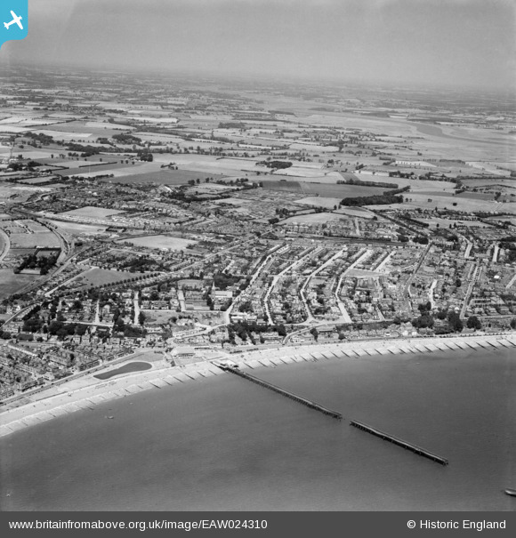
EAW024310 ENGLAND (1949). The town, Felixstowe, from the south-east, 1949
© Copyright OpenStreetMap contributors and licensed by the OpenStreetMap Foundation. 2026. Cartography is licensed as CC BY-SA.
Nearby Images (9)
EAW024310

EPW039279

EPW049328

EPW001921

EAW024305

EPW001918

EAW024306

EAW038358

EPW016541

Details
| Title | [EAW024310] The town, Felixstowe, from the south-east, 1949 |
| Reference | EAW024310 |
| Date | 4-July-1949 |
| Link | |
| Place name | FELIXSTOWE |
| Parish | FELIXSTOWE |
| District | |
| Country | ENGLAND |
| Easting / Northing | 630051, 234123 |
| Longitude / Latitude | 1.3486530200682, 51.95748818671 |
| National Grid Reference | TM301341 |
Pins
Be the first to add a comment to this image!