
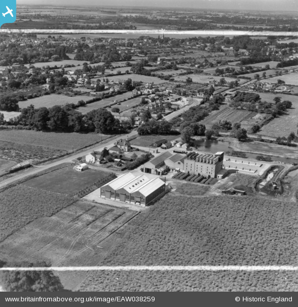
EAW038259 ENGLAND (1951). The English Chicory Ltd Factory, St Ives, from the north-east, 1951. This image has been produced from a print marked by Aerofilms Ltd for photo editing.
© Copyright OpenStreetMap contributors and licensed by the OpenStreetMap Foundation. 2026. Cartography is licensed as CC BY-SA.
Nearby Images (10)
EAW038259

EAW038253

EAW038252

EAW038251

EAW038256

EAW038257

EAW038254

EAW038250

EAW038249

EAW038248

Details
| Title | [EAW038259] The English Chicory Ltd Factory, St Ives, from the north-east, 1951. This image has been produced from a print marked by Aerofilms Ltd for photo editing. |
| Reference | EAW038259 |
| Date | 2-August-1951 |
| Link | |
| Place name | ST IVES |
| Parish | SAINT IVES |
| District | |
| Country | ENGLAND |
| Easting / Northing | 532389, 272251 |
| Longitude / Latitude | -0.056867208682544, 52.331965395758 |
| National Grid Reference | TL324723 |
Pins

MBabove |
Friday 8th of January 2016 12:29:40 PM |