
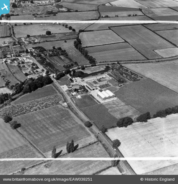
EAW038251 ENGLAND (1951). The English Chicory Ltd Factory, St Ives, 1951. This image has been produced from a print marked by Aerofilms Ltd for photo editing.
© Copyright OpenStreetMap contributors and licensed by the OpenStreetMap Foundation. 2026. Cartography is licensed as CC BY-SA.
Nearby Images (12)
EAW038251

EAW038256

EAW038257

EAW038253

EAW038252

EAW038254

EAW038250

EAW038249

EAW038248

EAW038255

EAW038259

EAW038258

Details
| Title | [EAW038251] The English Chicory Ltd Factory, St Ives, 1951. This image has been produced from a print marked by Aerofilms Ltd for photo editing. |
| Reference | EAW038251 |
| Date | 2-August-1951 |
| Link | |
| Place name | ST IVES |
| Parish | SAINT IVES |
| District | |
| Country | ENGLAND |
| Easting / Northing | 532257, 272215 |
| Longitude / Latitude | -0.058817591985893, 52.331673736333 |
| National Grid Reference | TL323722 |
Pins

Matt Aldred edob.mattaldred.com |
Tuesday 18th of October 2022 03:23:19 PM |