
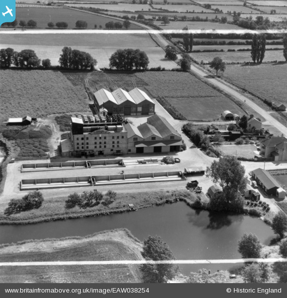
EAW038254 ENGLAND (1951). The English Chicory Ltd Factory, St Ives, 1951. This image has been produced from a print marked by Aerofilms Ltd for photo editing.
© Copyright OpenStreetMap contributors and licensed by the OpenStreetMap Foundation. 2026. Cartography is licensed as CC BY-SA.
Nearby Images (12)
EAW038254

EAW038252

EAW038256

EAW038257

EAW038250

EAW038251

EAW038253

EAW038249

EAW038248

EAW038255

EAW038258

EAW038259

Details
| Title | [EAW038254] The English Chicory Ltd Factory, St Ives, 1951. This image has been produced from a print marked by Aerofilms Ltd for photo editing. |
| Reference | EAW038254 |
| Date | 2-August-1951 |
| Link | |
| Place name | ST IVES |
| Parish | SAINT IVES |
| District | |
| Country | ENGLAND |
| Easting / Northing | 532238, 272231 |
| Longitude / Latitude | -0.059089992526782, 52.331822093689 |
| National Grid Reference | TL322722 |
Pins
Be the first to add a comment to this image!