
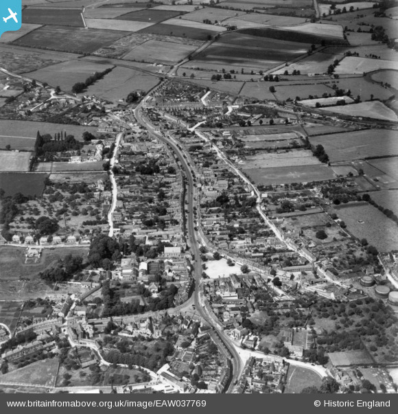
EAW037769 ENGLAND (1951). The town, Olney, 1951. This image has been produced from a print.
© Copyright OpenStreetMap contributors and licensed by the OpenStreetMap Foundation. 2026. Cartography is licensed as CC BY-SA.
Nearby Images (4)
EAW037769

EPW029000

EPW029003

EPW028997

Details
| Title | [EAW037769] The town, Olney, 1951. This image has been produced from a print. |
| Reference | EAW037769 |
| Date | 17-July-1951 |
| Link | |
| Place name | OLNEY |
| Parish | OLNEY |
| District | |
| Country | ENGLAND |
| Easting / Northing | 488936, 251530 |
| Longitude / Latitude | -0.69987972524647, 52.154470694517 |
| National Grid Reference | SP889515 |
Pins

John W |
Sunday 7th of August 2016 06:46:34 PM | |

melgibbs |
Wednesday 4th of March 2015 08:50:06 PM | |
|
melgibbs |
Tuesday 24th of February 2015 09:38:34 PM |