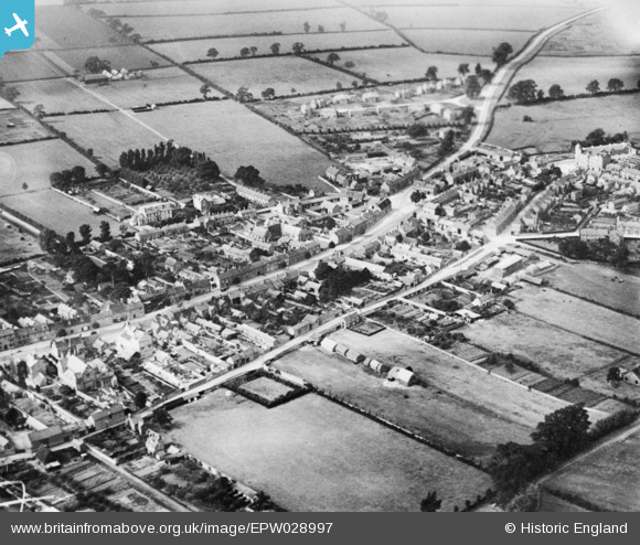
EPW028997 ENGLAND (1929). The High Street and East Street, Olney, 1929. This image has been produced from a copy-negative.
© Copyright OpenStreetMap contributors and licensed by the OpenStreetMap Foundation. 2026. Cartography is licensed as CC BY-SA.
Details
| Title | [EPW028997] The High Street and East Street, Olney, 1929. This image has been produced from a copy-negative. |
| Reference | EPW028997 |
| Date | 6-September-1929 |
| Link | |
| Place name | OLNEY |
| Parish | OLNEY |
| District | |
| Country | ENGLAND |
| Easting / Northing | 488904, 251774 |
| Longitude / Latitude | -0.70028350121553, 52.156669210522 |
| National Grid Reference | SP889518 |
Pins
Be the first to add a comment to this image!


![[EPW028997] The High Street and East Street, Olney, 1929. This image has been produced from a copy-negative.](http://britainfromabove.org.uk/sites/all/libraries/aerofilms-images/public/100x100/EPW/028/EPW028997.jpg)
![[EPW029002] The northern part of the town centred upon The Castle public house, Olney, 1929. This image has been produced from a copy-negative.](http://britainfromabove.org.uk/sites/all/libraries/aerofilms-images/public/100x100/EPW/029/EPW029002.jpg)
![[EAW037769] The town, Olney, 1951. This image has been produced from a print.](http://britainfromabove.org.uk/sites/all/libraries/aerofilms-images/public/100x100/EAW/037/EAW037769.jpg)