
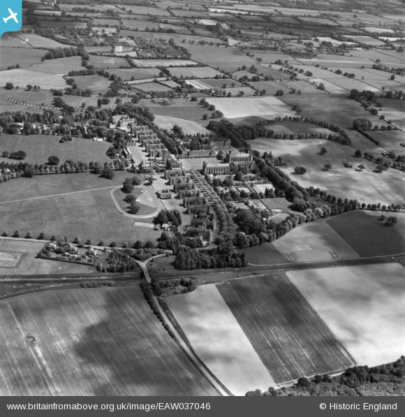
EAW037046 ENGLAND (1951). Christ's Hospital, Southwater, 1951. This image has been produced from a print.
© Copyright OpenStreetMap contributors and licensed by the OpenStreetMap Foundation. 2026. Cartography is licensed as CC BY-SA.
Nearby Images (11)
EAW037046

EAW037045

EPW024620

EPW024624

EPW024623

EPW024621

EAW037048

EPW024622

EPW024619

EPW039503

EAW030105

Details
| Title | [EAW037046] Christ's Hospital, Southwater, 1951. This image has been produced from a print. |
| Reference | EAW037046 |
| Date | 11-June-1951 |
| Link | |
| Place name | SOUTHWATER |
| Parish | SOUTHWATER |
| District | |
| Country | ENGLAND |
| Easting / Northing | 514670, 128547 |
| Longitude / Latitude | -0.36405581976689, 51.044280631831 |
| National Grid Reference | TQ147285 |
Pins
Be the first to add a comment to this image!