
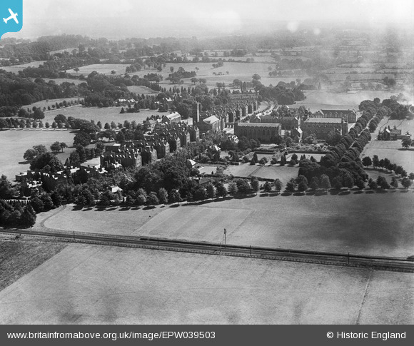
EPW039503 ENGLAND (1932). Christ's Hospital School and surrounding countryside, Southwater, from the west, 1932
© Copyright OpenStreetMap contributors and licensed by the OpenStreetMap Foundation. 2026. Cartography is licensed as CC BY-SA.
Nearby Images (4)
EPW039503

EPW024624

EPW024625

EAW037046

Details
| Title | [EPW039503] Christ's Hospital School and surrounding countryside, Southwater, from the west, 1932 |
| Reference | EPW039503 |
| Date | August-1932 |
| Link | |
| Place name | SOUTHWATER |
| Parish | SOUTHWATER |
| District | |
| Country | ENGLAND |
| Easting / Northing | 514422, 128482 |
| Longitude / Latitude | -0.36761292456546, 51.043745771195 |
| National Grid Reference | TQ144285 |
Pins
Be the first to add a comment to this image!