
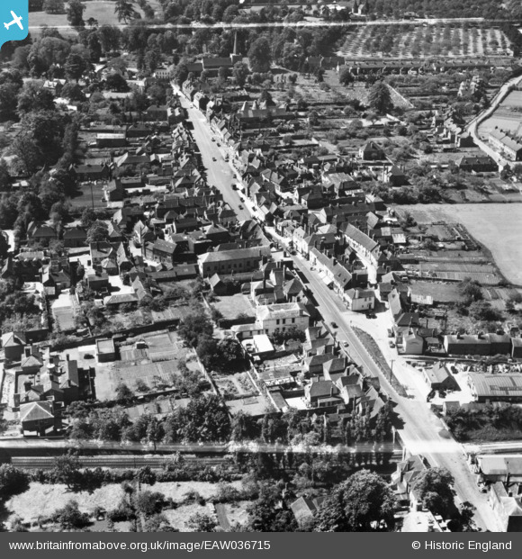
EAW036715 ENGLAND (1951). The High Street, West Malling, 1951. This image has been produced from a print marked by Aerofilms Ltd for photo editing.
© Copyright OpenStreetMap contributors and licensed by the OpenStreetMap Foundation. 2026. Cartography is licensed as CC BY-SA.
Nearby Images (5)
EAW036715

EPW026083

EAW036708

EAW036714

EAW036709

Details
| Title | [EAW036715] The High Street, West Malling, 1951. This image has been produced from a print marked by Aerofilms Ltd for photo editing. |
| Reference | EAW036715 |
| Date | 1-June-1951 |
| Link | |
| Place name | WEST MALLING |
| Parish | WEST MALLING |
| District | |
| Country | ENGLAND |
| Easting / Northing | 568073, 157863 |
| Longitude / Latitude | 0.41091975979407, 51.294546980413 |
| National Grid Reference | TQ681579 |
Pins
Be the first to add a comment to this image!