
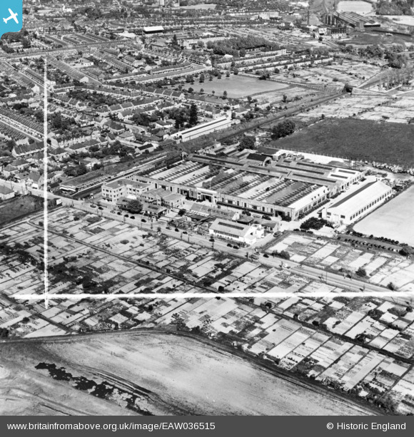
EAW036515 ENGLAND (1951). Scammel Lorries Ltd Motor Works, Watford, 1951. This image has been produced from a print marked by Aerofilms Ltd for photo editing.
© Copyright OpenStreetMap contributors and licensed by the OpenStreetMap Foundation. 2026. Cartography is licensed as CC BY-SA.
Nearby Images (19)
EAW036515

EAW036509

EAW036511

EAW028082

EAW028078

EPW021332

EAW028084

EAW028076

EAW028081

EAW036517

EAW036516

EAW036508

EAW028080

EAW036513

EAW028079

EAW036510

EAW036514

EAW028077

EAW028083

Details
| Title | [EAW036515] Scammel Lorries Ltd Motor Works, Watford, 1951. This image has been produced from a print marked by Aerofilms Ltd for photo editing. |
| Reference | EAW036515 |
| Date | 1-June-1951 |
| Link | |
| Place name | WATFORD |
| Parish | |
| District | |
| Country | ENGLAND |
| Easting / Northing | 509775, 195491 |
| Longitude / Latitude | -0.41320909655298, 51.647019255669 |
| National Grid Reference | TQ098955 |
Pins
Be the first to add a comment to this image!