
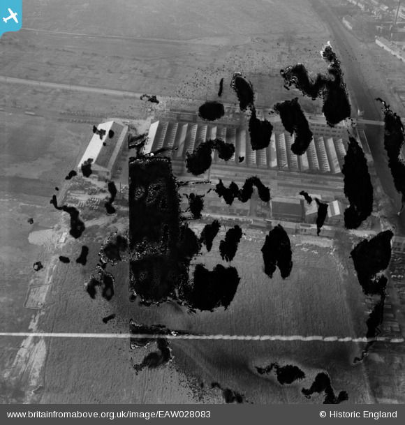
EAW028083 ENGLAND (1950). Scammell Lorries Ltd factory on Tolpits Lane, West Watford, 1950. This image has been produced from a damaged negative.
© Copyright OpenStreetMap contributors and licensed by the OpenStreetMap Foundation. 2026. Cartography is licensed as CC BY-SA.
Nearby Images (19)
EAW028083

EAW028077

EAW036514

EAW036517

EAW036508

EAW036513

EAW028080

EPW021332

EAW028079

EAW036515

EAW028084

EAW036510

EAW028076

EAW036509

EAW028082

EAW036511

EAW028078

EAW028081

EAW036516

Details
| Title | [EAW028083] Scammell Lorries Ltd factory on Tolpits Lane, West Watford, 1950. This image has been produced from a damaged negative. |
| Reference | EAW028083 |
| Date | 27-February-1950 |
| Link | |
| Place name | WEST WATFORD |
| Parish | |
| District | |
| Country | ENGLAND |
| Easting / Northing | 509898, 195408 |
| Longitude / Latitude | -0.41145795607429, 51.646249151497 |
| National Grid Reference | TQ099954 |
Pins

ken |
Wednesday 15th of July 2015 09:19:28 AM |