
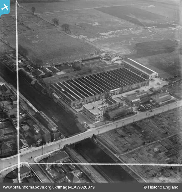
EAW028079 ENGLAND (1950). Scammell Lorries Ltd factory on Tolpits Lane, West Watford, 1950. This image was marked by Aerofilms Ltd for photo editing.
© Copyright OpenStreetMap contributors and licensed by the OpenStreetMap Foundation. 2026. Cartography is licensed as CC BY-SA.
Nearby Images (19)
EAW028079

EAW036510

EAW036508

EAW028081

EPW021332

EAW028082

EAW036516

EAW036511

EAW036509

EAW036515

EAW036517

EAW028078

EAW028084

EAW028076

EAW036514

EAW028080

EAW036513

EAW028083

EAW028077

Details
| Title | [EAW028079] Scammell Lorries Ltd factory on Tolpits Lane, West Watford, 1950. This image was marked by Aerofilms Ltd for photo editing. |
| Reference | EAW028079 |
| Date | 27-February-1950 |
| Link | |
| Place name | WEST WATFORD |
| Parish | |
| District | |
| Country | ENGLAND |
| Easting / Northing | 509824, 195524 |
| Longitude / Latitude | -0.41249073437845, 51.647306316472 |
| National Grid Reference | TQ098955 |
Pins

Sparky |
Thursday 19th of October 2017 11:52:49 PM |