
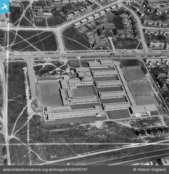
EAW035797 ENGLAND (1951). Hillside Primary Schools, Paulsgrove, 1951. This image has been produced from a print marked by Aerofilms Ltd for photo editing.
© Copyright OpenStreetMap contributors and licensed by the OpenStreetMap Foundation. 2026. Cartography is licensed as CC BY-SA.
Nearby Images (5)
EAW035797

EAW035796

EAW035800

EAW035802

EAW035801

Details
| Title | [EAW035797] Hillside Primary Schools, Paulsgrove, 1951. This image has been produced from a print marked by Aerofilms Ltd for photo editing. |
| Reference | EAW035797 |
| Date | 12-May-1951 |
| Link | |
| Place name | PAULSGROVE |
| Parish | |
| District | |
| Country | ENGLAND |
| Easting / Northing | 463998, 105898 |
| Longitude / Latitude | -1.09081509603, 50.8484988824 |
| National Grid Reference | SU640059 |
Pins
Be the first to add a comment to this image!