
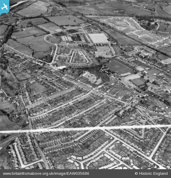
EAW035686 ENGLAND (1951). Stoughton, Guildford, 1951. This image has been produced from a print marked by Aerofilms Ltd for photo editing.
© Copyright OpenStreetMap contributors and licensed by the OpenStreetMap Foundation. 2025. Cartography is licensed as CC BY-SA.
Nearby Images (8)
EAW035686

EAW035685

EAW035687

EAW035684

EAW035682

EAW035683

EAW035680

EAW035681

Details
| Title | [EAW035686] Stoughton, Guildford, 1951. This image has been produced from a print marked by Aerofilms Ltd for photo editing. |
| Reference | EAW035686 |
| Date | 2-May-1951 |
| Link | |
| Place name | GUILDFORD |
| Parish | |
| District | |
| Country | ENGLAND |
| Easting / Northing | 498171, 151863 |
| Longitude / Latitude | -0.59299646901307, 51.256956710896 |
| National Grid Reference | SU982519 |
Pins
Be the first to add a comment to this image!