
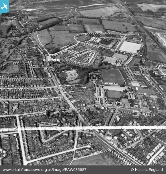
EAW035687 ENGLAND (1951). Stoughton, Guildford, 1951. This image has been produced from a print marked by Aerofilms Ltd for photo editing.
© Copyright OpenStreetMap contributors and licensed by the OpenStreetMap Foundation. 2025. Cartography is licensed as CC BY-SA.
Nearby Images (6)
EAW035687

EAW035686

EAW035680

EAW035685

EAW035682

EAW035684

Details
| Title | [EAW035687] Stoughton, Guildford, 1951. This image has been produced from a print marked by Aerofilms Ltd for photo editing. |
| Reference | EAW035687 |
| Date | 2-May-1951 |
| Link | |
| Place name | GUILDFORD |
| Parish | |
| District | |
| Country | ENGLAND |
| Easting / Northing | 498301, 151823 |
| Longitude / Latitude | -0.59114488418585, 51.25657470022 |
| National Grid Reference | SU983518 |
Pins
Be the first to add a comment to this image!