
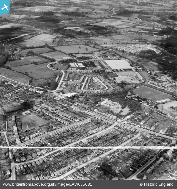
EAW035681 ENGLAND (1951). Stoughton, Guildford, 1951. This image has been produced from a print marked by Aerofilms Ltd for photo editing.
© Copyright OpenStreetMap contributors and licensed by the OpenStreetMap Foundation. 2025. Cartography is licensed as CC BY-SA.
Nearby Images (9)
EAW035681

EAW035683

EAW035684

EAW035682

EAW035685

EAW035680

EAW035686

EAW035688

EAW035689

Details
| Title | [EAW035681] Stoughton, Guildford, 1951. This image has been produced from a print marked by Aerofilms Ltd for photo editing. |
| Reference | EAW035681 |
| Date | 2-May-1951 |
| Link | |
| Place name | GUILDFORD |
| Parish | |
| District | |
| Country | ENGLAND |
| Easting / Northing | 498280, 152087 |
| Longitude / Latitude | -0.59137321426554, 51.258951723387 |
| National Grid Reference | SU983521 |
Pins

percommode |
Wednesday 12th of October 2016 05:00:42 PM |