
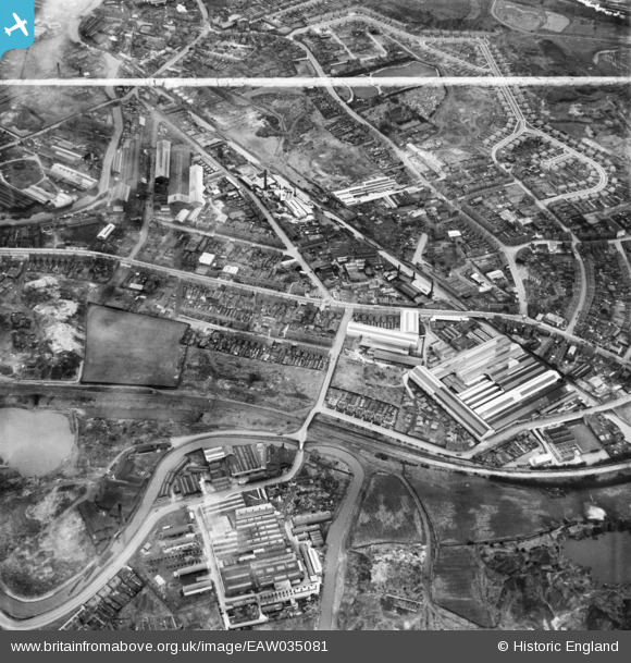
EAW035081 ENGLAND (1951). Great Bridge Street and environs, Tipton, 1951. This image was marked by Aerofilms Ltd for photo editing.
© Copyright OpenStreetMap contributors and licensed by the OpenStreetMap Foundation. 2026. Cartography is licensed as CC BY-SA.
Nearby Images (17)
EAW035081

EAW035082

EAW035090

EAW035083

EAW035084

EAW035088

EAW035089

EAW035091

EAW035085

EAW035086

EAW035092

EAW035077

EAW035078

EAW035076

EAW035080

EAW035079

EAW035087

Details
| Title | [EAW035081] Great Bridge Street and environs, Tipton, 1951. This image was marked by Aerofilms Ltd for photo editing. |
| Reference | EAW035081 |
| Date | 21-March-1951 |
| Link | |
| Place name | TIPTON |
| Parish | |
| District | |
| Country | ENGLAND |
| Easting / Northing | 398265, 292357 |
| Longitude / Latitude | -2.0255777837121, 52.528717219334 |
| National Grid Reference | SO983924 |
Pins

Phil Clayton |
Tuesday 3rd of April 2018 09:04:37 AM | |
|
Dave Roberts |
Thursday 31st of July 2014 05:15:51 PM |