
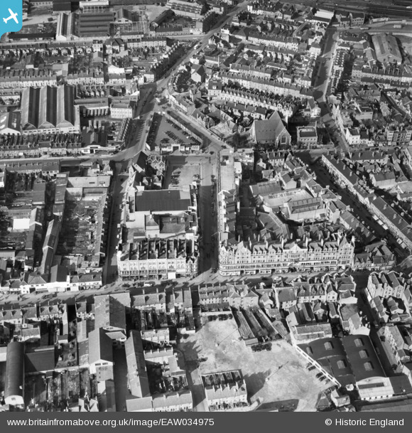
EAW034975 ENGLAND (1951). Cheapside, Reading, 1951
© Copyright OpenStreetMap contributors and licensed by the OpenStreetMap Foundation. 2026. Cartography is licensed as CC BY-SA.
Nearby Images (6)
EAW034975

EPW022700

EPW022516

EPW000864

EPW022681

EPW022687

Details
| Title | [EAW034975] Cheapside, Reading, 1951 |
| Reference | EAW034975 |
| Date | 15-March-1951 |
| Link | |
| Place name | READING |
| Parish | |
| District | |
| Country | ENGLAND |
| Easting / Northing | 471164, 173492 |
| Longitude / Latitude | -0.97565835513368, 51.45544127094 |
| National Grid Reference | SU712735 |
Pins

John Wass |
Saturday 19th of November 2016 03:16:37 PM |