
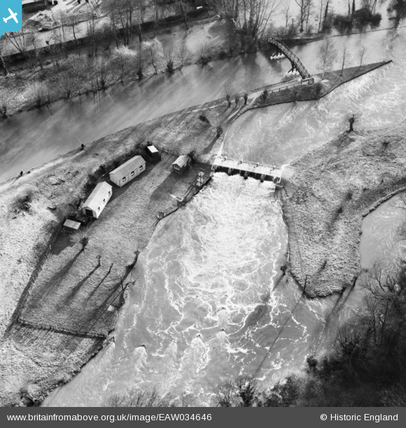
EAW034646 ENGLAND (1951). The weir, Hurley, 1951
© Copyright OpenStreetMap contributors and licensed by the OpenStreetMap Foundation. 2025. Cartography is licensed as CC BY-SA.
Nearby Images (9)
EAW034646

EAW034642

EAW034644

EAW034641

EAW034645

EAW034643

EAW034638

EPW036192

EAW034637

Details
| Title | [EAW034646] The weir, Hurley, 1951 |
| Reference | EAW034646 |
| Date | 12-February-1951 |
| Link | |
| Place name | HURLEY |
| Parish | HURLEY |
| District | |
| Country | ENGLAND |
| Easting / Northing | 482548, 184243 |
| Longitude / Latitude | -0.809314602173, 51.550553015932 |
| National Grid Reference | SU825842 |
Pins
Be the first to add a comment to this image!