
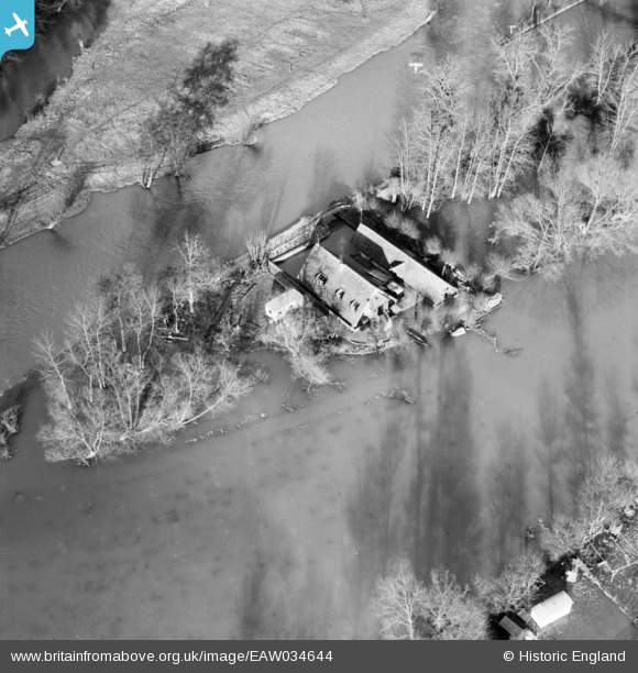
EAW034644 ENGLAND (1951). The River Thames in flood at the Old Boat House, Hurley, 1951
© Copyright OpenStreetMap contributors and licensed by the OpenStreetMap Foundation. 2025. Cartography is licensed as CC BY-SA.
Nearby Images (11)
EAW034644

EAW034642

EAW034641

EAW034638

EAW034637

EAW034645

EAW034643

EAW034646

EPW036188

EAW034640

EAW034256

Details
| Title | [EAW034644] The River Thames in flood at the Old Boat House, Hurley, 1951 |
| Reference | EAW034644 |
| Date | 12-February-1951 |
| Link | |
| Place name | HURLEY |
| Parish | HURLEY |
| District | |
| Country | ENGLAND |
| Easting / Northing | 482391, 184143 |
| Longitude / Latitude | -0.81160209838367, 51.549676920414 |
| National Grid Reference | SU824841 |
Pins
Be the first to add a comment to this image!