
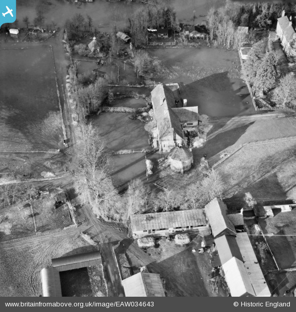
EAW034643 ENGLAND (1951). Floodwater at the Tithe Barn, Hurley, 1951
© Copyright OpenStreetMap contributors and licensed by the OpenStreetMap Foundation. 2025. Cartography is licensed as CC BY-SA.
Nearby Images (8)
EAW034643

EAW034645

EAW034641

EAW034638

EAW034642

EAW034637

EAW034644

EAW034646

Details
| Title | [EAW034643] Floodwater at the Tithe Barn, Hurley, 1951 |
| Reference | EAW034643 |
| Date | 12-February-1951 |
| Link | |
| Place name | HURLEY |
| Parish | HURLEY |
| District | |
| Country | ENGLAND |
| Easting / Northing | 482467, 184011 |
| Longitude / Latitude | -0.81053708942584, 51.548479069856 |
| National Grid Reference | SU825840 |
Pins
Be the first to add a comment to this image!