
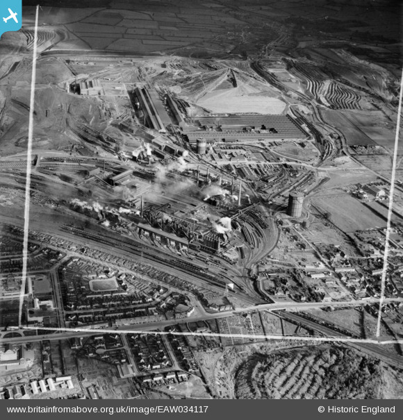
EAW034117 ENGLAND (1950). Stewarts and Lloyds Ltd Iron & Steel Works, Corby, 1950. This image was marked by Aerofilms Ltd for photo editing.
© Copyright OpenStreetMap contributors and licensed by the OpenStreetMap Foundation. 2026. Cartography is licensed as CC BY-SA.
Nearby Images (21)
EAW034117

EPW054913

EAW034116

EAW034121

EAW034119

EAW034123

EAW034120

EAW034113

EPW049774

EAW034115

EPW049775

EPW049771

EAW034114

EAW034118

EPW049772

EPW054923

EPW049770

EPW054912

EPW049767

EPW049765

EAW045453

Details
| Title | [EAW034117] Stewarts and Lloyds Ltd Iron & Steel Works, Corby, 1950. This image was marked by Aerofilms Ltd for photo editing. |
| Reference | EAW034117 |
| Date | 26-October-1950 |
| Link | |
| Place name | CORBY |
| Parish | |
| District | |
| Country | ENGLAND |
| Easting / Northing | 489835, 289473 |
| Longitude / Latitude | -0.67660219581313, 52.495389525415 |
| National Grid Reference | SP898895 |
Pins

Sparky |
Thursday 7th of September 2017 09:34:23 AM |