
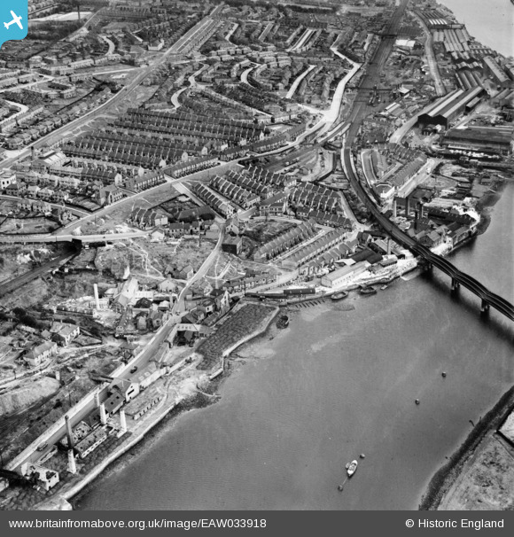
EAW033918 ENGLAND (1950). Scotswood Road and envrions, Scotswood, 1950
© Copyright OpenStreetMap contributors and licensed by the OpenStreetMap Foundation. 2026. Cartography is licensed as CC BY-SA.
Nearby Images (11)
EAW033918

EAW033916

EAW033917

EAW033913

EAW033915

EAW033910
, Scotswood, 1950. This image has been produced from a damaged negative.")
EAW033914

EAW033912
, Scotswood, 1950. This image has been produced from a damaged negative.")
EAW033911

EAW033909
, Blaydon, 1950. This image has been produced from a damaged negative.")
EAW033907

Details
| Title | [EAW033918] Scotswood Road and envrions, Scotswood, 1950 |
| Reference | EAW033918 |
| Date | 19-October-1950 |
| Link | |
| Place name | SCOTSWOOD |
| Parish | |
| District | |
| Country | ENGLAND |
| Easting / Northing | 419792, 563948 |
| Longitude / Latitude | -1.6908005345275, 54.96968293913 |
| National Grid Reference | NZ198639 |
Pins

Norman Fay |
Wednesday 28th of November 2018 08:59:35 PM | |
|
Norman Fay |
Wednesday 28th of November 2018 08:56:58 PM | |
|
Norman Fay |
Sunday 16th of April 2017 11:28:44 PM | |
|
Norman Fay |
Thursday 17th of March 2016 10:36:14 PM |
