
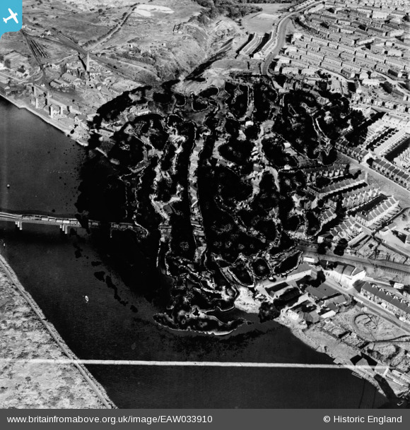
EAW033910 ENGLAND (1950). The railway viaduct and riverside industries (site of), Scotswood, 1950. This image has been produced from a damaged negative.
© Copyright OpenStreetMap contributors and licensed by the OpenStreetMap Foundation. 2026. Cartography is licensed as CC BY-SA.
Nearby Images (11)
EAW033910
, Scotswood, 1950. This image has been produced from a damaged negative.")
EAW033915

EAW033914

EAW033912
, Scotswood, 1950. This image has been produced from a damaged negative.")
EAW033916

EAW033913

EAW033911

EAW033918

EAW033917

EAW033909
, Blaydon, 1950. This image has been produced from a damaged negative.")
EAW033907

Details
| Title | [EAW033910] The railway viaduct and riverside industries (site of), Scotswood, 1950. This image has been produced from a damaged negative. |
| Reference | EAW033910 |
| Date | 19-October-1950 |
| Link | |
| Place name | SCOTSWOOD |
| Parish | |
| District | |
| Country | ENGLAND |
| Easting / Northing | 419799, 563851 |
| Longitude / Latitude | -1.6906978777045, 54.968810909112 |
| National Grid Reference | NZ198639 |
Pins
Be the first to add a comment to this image!