
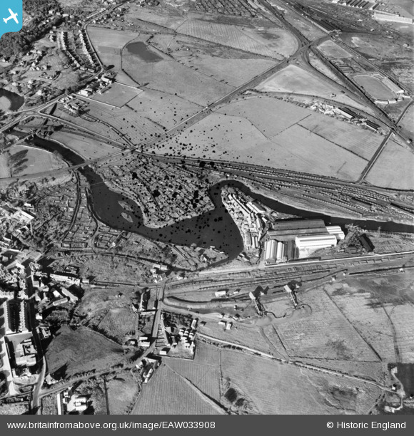
EAW033908 ENGLAND (1950). The Hurrocks Allotments Gardens, Hannington Works and environs, Blaydon, 1950. This image has been produced from a damaged negative.
© Copyright OpenStreetMap contributors and licensed by the OpenStreetMap Foundation. 2026. Cartography is licensed as CC BY-SA.
Nearby Images (10)
EAW033908

EPW043796

EAW016736
 Works at Derwent Haugh, Swalwell, from the south, 1948. This image was marked by Aerofilms Ltd for photo editing.")
EAW016732
 Works at Derwent Haugh, Swalwell, 1948. This image was marked by Aerofilms Ltd for photo editing.")
EAW016734
 Works at Derwent Haugh, Swalwell, 1948. This image was marked by Aerofilms Ltd for photo editing.")
EAW016737
 Works at Derwent Haugh, Swalwell, from the south-east, 1948. This image was marked by Aerofilms Ltd for photo editing.")
EAW016738
 Works at Derwent Haugh, Swalwell, from the south-east, 1948. This image was marked by Aerofilms Ltd for photo editing.")
EAW016735
 Works at Derwent Haugh, Blaydon, 1948. This image was marked by Aerofilms Ltd for photo editing.")
EAW016741
 Works at Derwent Haugh, Swalwell, 1948. This image was marked by Aerofilms Ltd for photo editing.")
EAW016740
 Works at Derwent Haugh, Swalwell, 1948. This image was marked by Aerofilms Ltd for photo editing.")
Details
| Title | [EAW033908] The Hurrocks Allotments Gardens, Hannington Works and environs, Blaydon, 1950. This image has been produced from a damaged negative. |
| Reference | EAW033908 |
| Date | 19-October-1950 |
| Link | |
| Place name | BLAYDON |
| Parish | |
| District | |
| Country | ENGLAND |
| Easting / Northing | 420251, 562662 |
| Longitude / Latitude | -1.6837207564605, 54.958107042545 |
| National Grid Reference | NZ203627 |
