
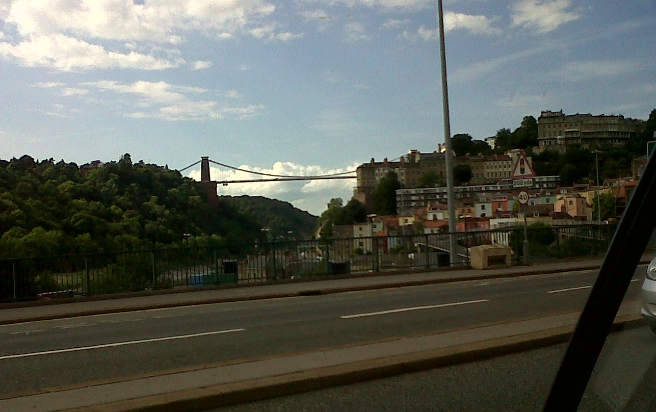
EAW033325 ENGLAND (1950). Clifton Suspension Bridge, Observatory Hill and the city, Clifton, from the west, 1950

© Copyright OpenStreetMap contributors and licensed by the OpenStreetMap Foundation. 2026. Cartography is licensed as CC BY-SA.
Nearby Images (19)
EAW033325

EAW050559

EPW022272

EAW016132

EPW001274

EPW032539

EAW050560

EAW050558

EPR000063

EAW033323

EAW002263

EPW037150

EAW015138

EPW012024

EAW033327

EPW041480

EPW022273

EPW032526

EPW048299

Details
| Title | [EAW033325] Clifton Suspension Bridge, Observatory Hill and the city, Clifton, from the west, 1950 |
| Reference | EAW033325 |
| Date | 5-October-1950 |
| Link | |
| Place name | CLIFTON |
| Parish | |
| District | |
| Country | ENGLAND |
| Easting / Northing | 356406, 173105 |
| Longitude / Latitude | -2.6274823074405, 51.454756569349 |
| National Grid Reference | ST564731 |
Pins
Be the first to add a comment to this image!
User Comment Contributions
Clifton Suspension Bridge 06/08/2013 |

Class31 |
Friday 2nd of May 2014 11:07:49 AM |