
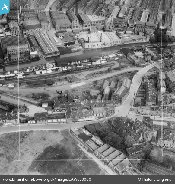
EAW033066 ENGLAND (1950). Lilycroft Mill and Chapel Lane, Bingley, 1950. This image was marked by Aerofilms Ltd for photo editing.
© Copyright OpenStreetMap contributors and licensed by the OpenStreetMap Foundation. 2025. Cartography is licensed as CC BY-SA.
Nearby Images (13)
EAW033066

EAW033061

EAW033062

EAW033065

EAW033064

EAW033063

EAW033054

EAW033060

EAW033059

EAW033058

EAW033055

EAW033056

EAW033057

Details
| Title | [EAW033066] Lilycroft Mill and Chapel Lane, Bingley, 1950. This image was marked by Aerofilms Ltd for photo editing. |
| Reference | EAW033066 |
| Date | 21-September-1950 |
| Link | |
| Place name | BINGLEY |
| Parish | |
| District | |
| Country | ENGLAND |
| Easting / Northing | 410969, 439105 |
| Longitude / Latitude | -1.8332521273533, 53.847858877967 |
| National Grid Reference | SE110391 |
Pins
Be the first to add a comment to this image!