
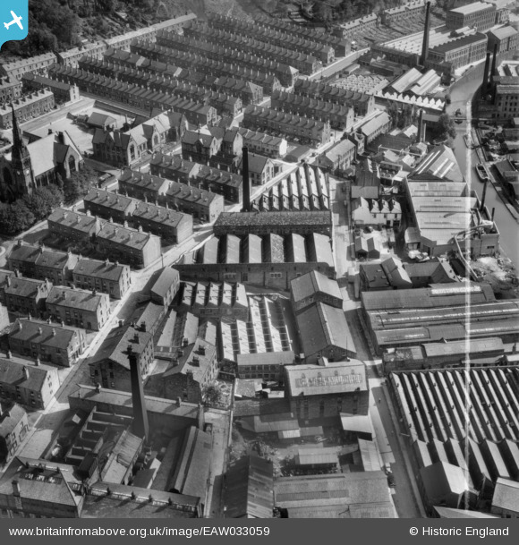
EAW033059 ENGLAND (1950). Mills off Clyde Street, Bingley, 1950. This image was marked by Aerofilms Ltd for photo editing.
© Copyright OpenStreetMap contributors and licensed by the OpenStreetMap Foundation. 2025. Cartography is licensed as CC BY-SA.
Nearby Images (14)
EAW033059

EAW033055

EAW033060

EAW033056

EAW033058

EAW033054

EAW033057

EAW033066

EAW033061

EAW033062

EAW033065

EAW033063

EAW033064

EPW024386

Details
| Title | [EAW033059] Mills off Clyde Street, Bingley, 1950. This image was marked by Aerofilms Ltd for photo editing. |
| Reference | EAW033059 |
| Date | 21-September-1950 |
| Link | |
| Place name | BINGLEY |
| Parish | |
| District | |
| Country | ENGLAND |
| Easting / Northing | 410994, 439296 |
| Longitude / Latitude | -1.8328652466704, 53.849575228907 |
| National Grid Reference | SE110393 |
Pins

John W |
Sunday 4th of September 2016 11:44:47 PM |