
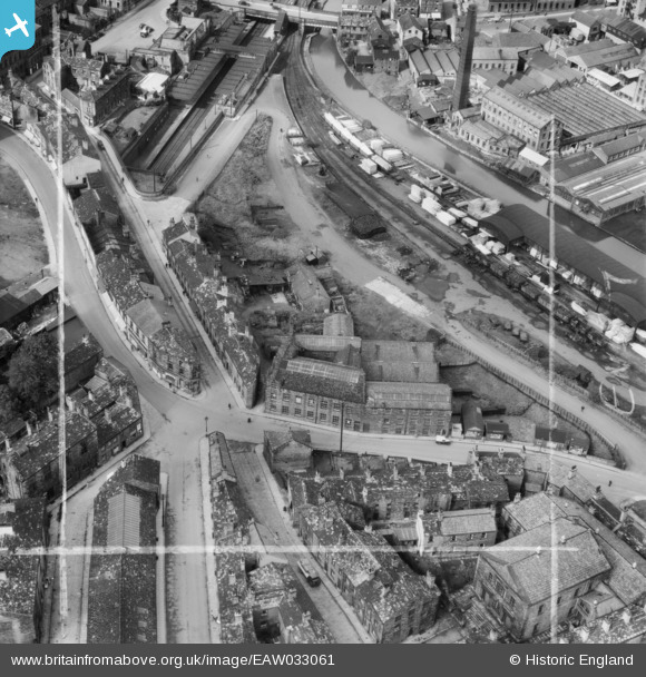
EAW033061 ENGLAND (1950). Lilycroft Mill and environs, Bingley, 1950. This image was marked by Aerofilms Ltd for photo editing.
© Copyright OpenStreetMap contributors and licensed by the OpenStreetMap Foundation. 2025. Cartography is licensed as CC BY-SA.
Nearby Images (14)
EAW033061

EAW033065

EAW033064

EAW033062

EAW033066

EAW033063

EAW033054

EAW033060

EAW033059

EAW033058

EAW033055

EAW033056

EAW033057

EPW024388

Details
| Title | [EAW033061] Lilycroft Mill and environs, Bingley, 1950. This image was marked by Aerofilms Ltd for photo editing. |
| Reference | EAW033061 |
| Date | 21-September-1950 |
| Link | |
| Place name | BINGLEY |
| Parish | |
| District | |
| Country | ENGLAND |
| Easting / Northing | 410958, 439089 |
| Longitude / Latitude | -1.8334199166926, 53.847715287804 |
| National Grid Reference | SE110391 |
Pins

John W |
Sunday 4th of September 2016 11:38:40 PM | |
|
John W |
Sunday 4th of September 2016 11:37:40 PM | |
|
John W |
Sunday 4th of September 2016 11:36:41 PM | |
|
John W |
Sunday 4th of September 2016 11:33:32 PM | |
|
John W |
Sunday 4th of September 2016 11:32:56 PM |