
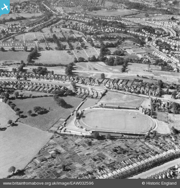
EAW032596 ENGLAND (1950). Kings Heath Greyhound Track and the Brandwood End Cemetery, Brandwood End, 1950
© Copyright OpenStreetMap contributors and licensed by the OpenStreetMap Foundation. 2026. Cartography is licensed as CC BY-SA.
Nearby Images (12)
EAW032596

EAW032595

EAW032590

EAW032594

EPW027016

EAW032588

EAW032593

EAW032589

EAW032586

EAW032591

EAW032587

EAW032592

Details
| Title | [EAW032596] Kings Heath Greyhound Track and the Brandwood End Cemetery, Brandwood End, 1950 |
| Reference | EAW032596 |
| Date | 18-September-1950 |
| Link | |
| Place name | BRANDWOOD END |
| Parish | |
| District | |
| Country | ENGLAND |
| Easting / Northing | 407503, 280134 |
| Longitude / Latitude | -1.889664290443, 52.418771304236 |
| National Grid Reference | SP075801 |
Pins
Be the first to add a comment to this image!