
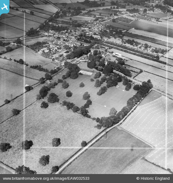
EAW032533 ENGLAND (1950). Hillam Hall, the Hillam & Monk Fryston Cricket Ground and the village, Hillam, 1950. This image was marked by Aerofilms Ltd for photo editing.
© Copyright OpenStreetMap contributors and licensed by the OpenStreetMap Foundation. 2026. Cartography is licensed as CC BY-SA.
Nearby Images (5)
EAW032533

EAW032532

EAW032529

EAW032530

EAW032531

Details
| Title | [EAW032533] Hillam Hall, the Hillam & Monk Fryston Cricket Ground and the village, Hillam, 1950. This image was marked by Aerofilms Ltd for photo editing. |
| Reference | EAW032533 |
| Date | 5-September-1950 |
| Link | |
| Place name | HILLAM |
| Parish | HILLAM |
| District | |
| Country | ENGLAND |
| Easting / Northing | 451175, 428702 |
| Longitude / Latitude | -1.2238173275955, 53.751949142667 |
| National Grid Reference | SE512287 |
Pins

JD |
Friday 12th of September 2014 11:32:16 AM | |
|
totoro |
Thursday 3rd of July 2014 10:03:18 PM | |
|
totoro |
Thursday 3rd of July 2014 10:00:29 PM | |
|
totoro |
Thursday 3rd of July 2014 09:59:27 PM | |
|
totoro |
Thursday 3rd of July 2014 09:46:08 PM | |
|
totoro |
Thursday 3rd of July 2014 09:45:42 PM |
User Comment Contributions

A pleasant, small rural ground. |
Fantasma |
Tuesday 22nd of April 2014 09:00:46 PM |