
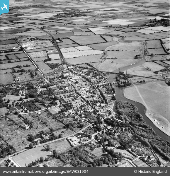
EAW031904 ENGLAND (1950). The town, St Ives, 1950
© Copyright OpenStreetMap contributors and licensed by the OpenStreetMap Foundation. 2026. Cartography is licensed as CC BY-SA.
Nearby Images (14)
EAW031904

EPW014453

EPW028946

EPW028945

EPW014450

EPW014452

EPW028940

EPW028942

EPW028944

EPW028943

EAW031905

EPW028939

EPW014450A

EPW028936

Details
| Title | [EAW031904] The town, St Ives, 1950 |
| Reference | EAW031904 |
| Date | 14-August-1950 |
| Link | |
| Place name | ST IVES |
| Parish | SAINT IVES |
| District | |
| Country | ENGLAND |
| Easting / Northing | 531387, 271285 |
| Longitude / Latitude | -0.071942501423099, 52.323525675094 |
| National Grid Reference | TL314713 |
Pins

Matt Aldred edob.mattaldred.com |
Friday 3rd of May 2019 04:12:34 PM | |
|
Matt Aldred edob.mattaldred.com |
Friday 3rd of May 2019 04:12:15 PM | |
Hi, you have an interest in pill boxes. Are you aware of the concealed one on The Waits in St Ives? |

JammieH |
Thursday 21st of November 2019 11:03:54 PM |