
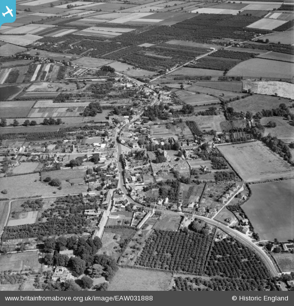
EAW031888 ENGLAND (1950). The village, Somersham, 1950
© Copyright OpenStreetMap contributors and licensed by the OpenStreetMap Foundation. 2026. Cartography is licensed as CC BY-SA.
Nearby Images (3)
EAW031888

EAW031889

EPW031765

Details
| Title | [EAW031888] The village, Somersham, 1950 |
| Reference | EAW031888 |
| Date | 14-August-1950 |
| Link | |
| Place name | SOMERSHAM |
| Parish | SOMERSHAM |
| District | |
| Country | ENGLAND |
| Easting / Northing | 536066, 277889 |
| Longitude / Latitude | -0.00064743319942901, 52.381727248176 |
| National Grid Reference | TL361779 |
Pins
Be the first to add a comment to this image!