
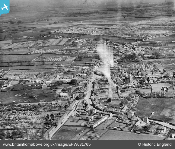
EPW031765 ENGLAND (1930). The town, Somersham, from the west, 1930. This image has been produced from a damaged negative.
© Copyright OpenStreetMap contributors and licensed by the OpenStreetMap Foundation. 2026. Cartography is licensed as CC BY-SA.
Nearby Images (3)
EPW031765

EPW031764

EAW031888

Details
| Title | [EPW031765] The town, Somersham, from the west, 1930. This image has been produced from a damaged negative. |
| Reference | EPW031765 |
| Date | April-1930 |
| Link | |
| Place name | SOMERSHAM |
| Parish | SOMERSHAM |
| District | |
| Country | ENGLAND |
| Easting / Northing | 535835, 277966 |
| Longitude / Latitude | -0.00400829447406, 52.38247649444 |
| National Grid Reference | TL358780 |
Pins
Be the first to add a comment to this image!