
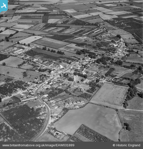
EAW031889 ENGLAND (1950). The village, Somersham, 1950
© Copyright OpenStreetMap contributors and licensed by the OpenStreetMap Foundation. 2026. Cartography is licensed as CC BY-SA.
Nearby Images (2)
EAW031889

EAW031888

Details
| Title | [EAW031889] The village, Somersham, 1950 |
| Reference | EAW031889 |
| Date | 14-August-1950 |
| Link | |
| Place name | SOMERSHAM |
| Parish | SOMERSHAM |
| District | |
| Country | ENGLAND |
| Easting / Northing | 536085, 277908 |
| Longitude / Latitude | -0.00036071596274803, 52.381893254804 |
| National Grid Reference | TL361779 |
Pins
Be the first to add a comment to this image!