
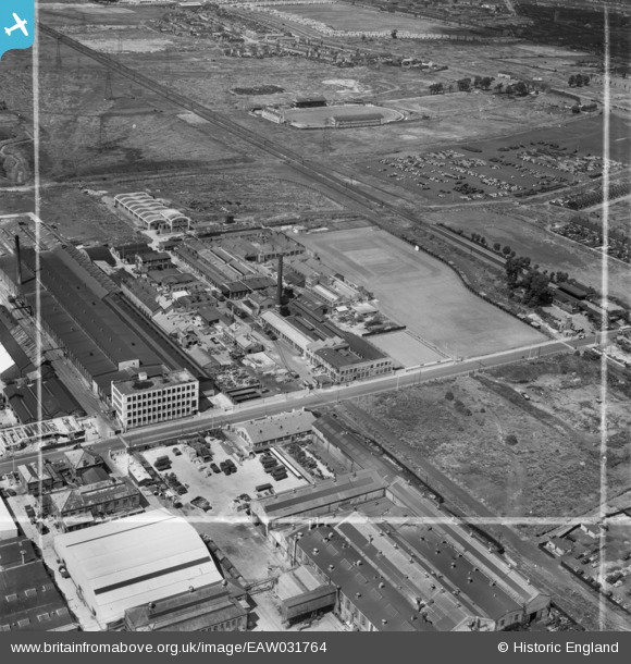
EAW031764 ENGLAND (1950). Pritchett and Gold and E.P.S. Co Ltd Storage Battery Works at Dagenham Dock, Dagenham, 1950. This image was marked by Aerofilms Ltd for photo editing.
© Copyright OpenStreetMap contributors and licensed by the OpenStreetMap Foundation. 2026. Cartography is licensed as CC BY-SA.
Nearby Images (39)
EAW031764

EAW031765

EAW031625

EAW031622

EAW031757

EAW031620

EAW031758

EAW031619

EAW031762

EAW031756

EAW031618

EAW031763

EPW037318

EPW037319

EPW005330

EAW031627

EPW040933

EPW040937

EAW031623

EPW040939

EAW031761

EAW031759

EPW040938

EAW031626

EPW040935

EPW040934

EAW031760

EAW031158

EAW031624

EPW051133

EAW031155

EPW051134

EAW052706

EPW040936

EAW052713

EAW052709

EAW052710

EAW052712

EAW052707

Details
| Title | [EAW031764] Pritchett and Gold and E.P.S. Co Ltd Storage Battery Works at Dagenham Dock, Dagenham, 1950. This image was marked by Aerofilms Ltd for photo editing. |
| Reference | EAW031764 |
| Date | 4-August-1950 |
| Link | |
| Place name | DAGENHAM |
| Parish | |
| District | |
| Country | ENGLAND |
| Easting / Northing | 548922, 182827 |
| Longitude / Latitude | 0.1469131248709, 51.524214419092 |
| National Grid Reference | TQ489828 |
Pins
Be the first to add a comment to this image!