
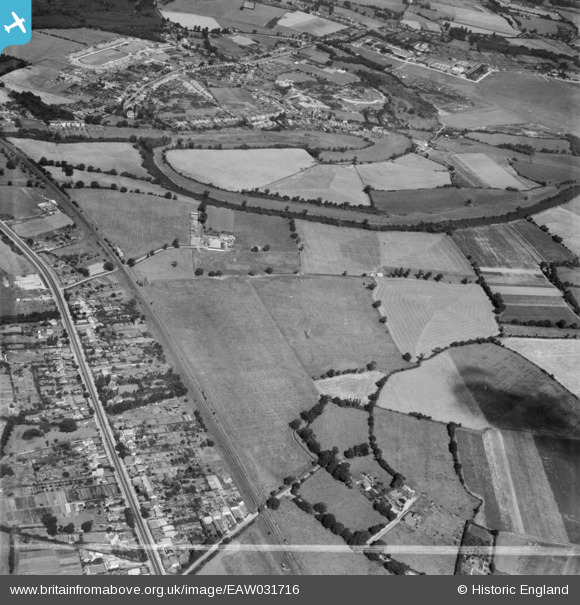
EAW031716 ENGLAND (1950). The Lodden Stud Farm, River Lodden and environs, Winnersh, 1950. This image was marked by Aerofilms Ltd for photo editing.
© Copyright OpenStreetMap contributors and licensed by the OpenStreetMap Foundation. 2026. Cartography is licensed as CC BY-SA.
Nearby Images (6)
EAW031716

EAW031721

EAW031719

EAW031720

EAW031718

EAW031717

Details
| Title | [EAW031716] The Lodden Stud Farm, River Lodden and environs, Winnersh, 1950. This image was marked by Aerofilms Ltd for photo editing. |
| Reference | EAW031716 |
| Date | 4-August-1950 |
| Link | |
| Place name | WINNERSH |
| Parish | WINNERSH |
| District | |
| Country | ENGLAND |
| Easting / Northing | 477400, 171561 |
| Longitude / Latitude | -0.88633671469027, 51.437261436749 |
| National Grid Reference | SU774716 |
Pins

Stuart Trubee |
Monday 16th of June 2014 11:34:34 PM | |

Bob Pitman |
Tuesday 20th of May 2014 04:06:12 PM | |
|
Bob Pitman |
Tuesday 20th of May 2014 04:05:28 PM | |
|
Bob Pitman |
Tuesday 20th of May 2014 04:03:29 PM | |
|
Bob Pitman |
Tuesday 20th of May 2014 04:00:34 PM | |
|
Bob Pitman |
Tuesday 20th of May 2014 03:58:19 PM | |
|
Bob Pitman |
Tuesday 20th of May 2014 03:50:18 PM |