
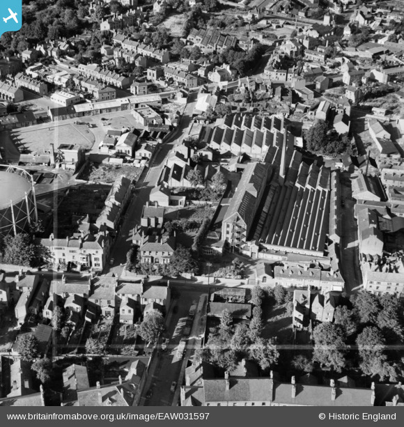
EAW031597 ENGLAND (1950). Leigh Worsteds Mills, Coventry, 1950. This image was marked by Aerofilms Ltd for photo editing.
© Copyright OpenStreetMap contributors and licensed by the OpenStreetMap Foundation. 2026. Cartography is licensed as CC BY-SA.
Nearby Images (23)
EAW031597

EAW031595

EAW031593

EAW031592

EAW031594

EAW025000

EAW024999

EAW025002

EAW031596

EAW024990

EPW061105

EAW025001

EAW024989

EAW024998

EAW024993

EAW024997

EAW024992

EAW024994

EPW053110

EPW035765

EPW035764

EPW035763

EPW001202

Details
| Title | [EAW031597] Leigh Worsteds Mills, Coventry, 1950. This image was marked by Aerofilms Ltd for photo editing. |
| Reference | EAW031597 |
| Date | 27-July-1950 |
| Link | |
| Place name | COVENTRY |
| Parish | |
| District | |
| Country | ENGLAND |
| Easting / Northing | 432964, 279288 |
| Longitude / Latitude | -1.5153387139264, 52.410222988444 |
| National Grid Reference | SP330793 |
Pins
Be the first to add a comment to this image!