
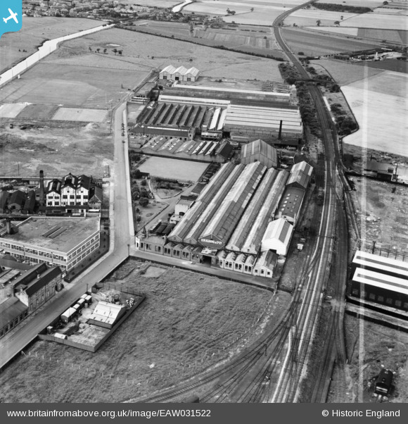
EAW031522 ENGLAND (1950). The H. W. Kearns and Co Ltd Engineering Works, Broadheath, 1950. This image was marked by Aerofilms Ltd for photo editing.
© Copyright OpenStreetMap contributors and licensed by the OpenStreetMap Foundation. 2026. Cartography is licensed as CC BY-SA.
Nearby Images (16)
EAW031522

EAW031524

EAW031521

EAW031526

EAW031527

EAW031528

EAW031525

EAW031523

EAW031529

EPW050673

EPW038468

EPW038470

EPW050671

EPW050670

EPW050021

EPW050672

Details
| Title | [EAW031522] The H. W. Kearns and Co Ltd Engineering Works, Broadheath, 1950. This image was marked by Aerofilms Ltd for photo editing. |
| Reference | EAW031522 |
| Date | 26-July-1950 |
| Link | |
| Place name | BROADHEATH |
| Parish | |
| District | |
| Country | ENGLAND |
| Easting / Northing | 376120, 389142 |
| Longitude / Latitude | -2.359180902353, 53.398303352922 |
| National Grid Reference | SJ761891 |
Pins

Matt Aldred edob.mattaldred.com |
Wednesday 17th of August 2022 03:17:55 PM | |

parrot |
Thursday 10th of June 2021 08:35:50 AM | |
|
parrot |
Thursday 10th of June 2021 08:31:52 AM | |
|
Fire123 |
Wednesday 4th of November 2015 11:12:48 AM | |
|
Fire123 |
Wednesday 4th of November 2015 11:11:30 AM | |
|
Fire123 |
Wednesday 4th of November 2015 11:10:24 AM | |
|
Fire123 |
Wednesday 4th of November 2015 11:08:19 AM | |
|
Fire123 |
Wednesday 4th of November 2015 11:06:08 AM | |
|
Fire123 |
Wednesday 4th of November 2015 11:05:27 AM | |
|
Fire123 |
Wednesday 4th of November 2015 11:02:12 AM | |
|
Fire123 |
Wednesday 4th of November 2015 11:01:18 AM | |
Spot on Fire123. I was asked about this bridge recently and I too remembered it as a child to be very low and a bit scary to pass under. I also think you could look up and see the sky between the sleepers. Was it one bridge or a series of small bridges as I seem to recall? ...A couple of minutes later looking at the photo and I think I may have answered my own question! The rather substantial bridge in the background wasn't there when I was a kid so I suspect that may have been the bridge that I read had been demolished in the accident so I assume the accident was indeed here. |
Paul |
Sunday 4th of December 2016 06:02:16 AM |
|
Fire123 |
Wednesday 4th of November 2015 10:59:15 AM | |
|
Brian |
Tuesday 31st of March 2015 04:36:02 PM | |
|
Brian |
Tuesday 31st of March 2015 04:35:36 PM | |
|
Brian |
Sunday 29th of March 2015 03:05:37 AM | |
Brian did the accident take place here within this view or further out towards Dunham? I ask as I seem to recall reading about a mail train disaster in Dunham. The loco a Jubilee class engine was dragged to a private siding (Richards or Churchill's?) where it was cut up on site. |
Paul |
Sunday 4th of December 2016 06:05:01 AM |